Tentang Perusahaan
Survey Mapping Services
PT RIFAYA GEO TEKNOLOGI
Rifaya Geo Teknologi (rGeotek) is a solutions provider specializing in Geo- spatial technology products and services to meet the diverse needs of cen- tral & local government offices and private industries.
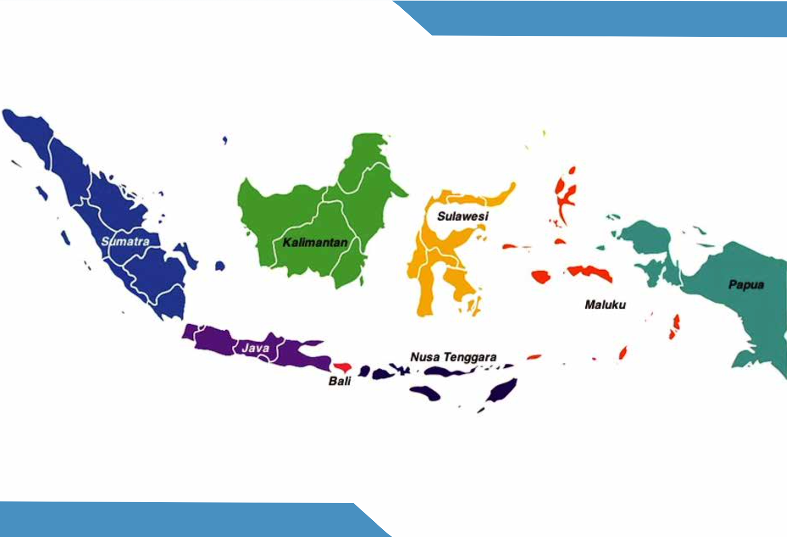
Established on Agustus 2022 in Jakarta - Indonesia, rGeotek pride on responsiveness, adaptability and quality of service, from which have built a reputation for delivering projects above and beyond client expectations. Rifaya Geo Teknologi served various industries in Indonesia
VISI
“Menjadi perusahaan yang mampu memberikan solusi pada bidang teknologi geospasial dengan mengedepankan kualitas pelayanan yang terbaik,presisi serta akurat”
Survey Mapping Services
SOLUTIONS OVERVIEW
“ The most effective decisions are always made using accurate, high quality data and that’s what rGeotek delivers “
Rifaya GeoTeknologi from rGeotek provide you with the expert data collection, management, and analysis that drives the highest quality projects across numerous disciplines – from civil engineer- ing to energy development, mining, oil & gas andmore. Our leading edge approaches and technologies for data collection, processing, and management ensure highly accurate solutions that allow you to overcome complex challenges with confidence.

Portofolio Project
Rifaya Geo Teknologi (rGeotek) telah di percaya dan berhasil menyelesaikan berbagai proyek yang mencakup berbagai aspek teknologi geospasial. Dari pemetaan presisi tinggi hingga analisis data spasial kompleks, portofolio kami mencerminkan dedikasi kami dalam menghadirkan solusi terbaik bagi klien kami. Dengan kolaborasi yang kuat dan penerapan teknologi mutakhir, kami bangga telah mengantarkan proyek-proyek inovatif menuju kesuksesan bersama dengan beberapa mitra proyek kami
Clients Project
Survey Photogrammetry
Survey LiDAR
Survey Bathymetric
Survey Geolistrik
Survey Geologi
Survey Photogrammetry Corridor
Telah Dipercaya Oleh


Mitra Kami


PROCESSING DEPARTEMENT
Gatot Budi Santoso, S.T.
Supervisi Data LiDAR
LiDAR DEPARTEMENT
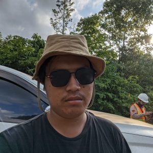
A. Zamharir, S.T.
Manager LiDAR
Working Experience 3 years
Geodetic Engineering

Muhammad Yusuf, S.T.
SPV LiDAR Support
Working Experience 3 years
Geodetic Engineering
UAV DEPARTEMENT

Babay Alba, S.T.
Manager UAV/Drone
Working Experience 4 years
Aeronautical Engineering

Gilang Budi Yudhistira, S.Si.
Manager GIS/GPS
Working Experience 9 years
Bachelor Degree Geographic

Fatchul Arifin, S.T.
SPV Pilot Drone
Working Experience 3 years
Geodetic Engineering
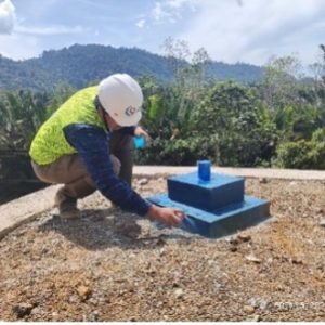
Adnan RiskiRamandhani, AM. T
SPV Ground Control Station (GCS)
SURVEY TOPO DEPARTEMENT

Wiqori Aulia Hashiddiqi, S.T.
SPV Terrestrial Laser Scanner (TLS)
Working Experience 2 years
Geodetic Engineering
Arif Chandra Prasetya, S.T.
SPV Processing Terrestrial Laser Scanner (TLS)

Sutrisno
GNSS Survey
Working Experience 2 years

Adi Nugraha Putra
Staff Surveyor GNSS

M Danang
Staff Surveyor Total Station
Working Experience 8 years
Geomatics
BATHYMETRY DEPARTEMENT

Rizki Adittio Taohid, S.Kel
Manager Bathymetry SBES/MBES

Afif Ma'ruf, S.Si
SPV Bathymetry SBES/SBES
GEOLOGYCAL, GEOELECTRIC, GEOTECHNICAL, HYDROGEOLOGY DEPARTEMENT

M. Firman, S.T.
Manager Geotechnical and Hydrology
Working Experience 6 years
Geology Engineering

Fasriansyah N, S.T.
Manager Geoelectrical
Working Experience 12 years
Geodetic Engineering
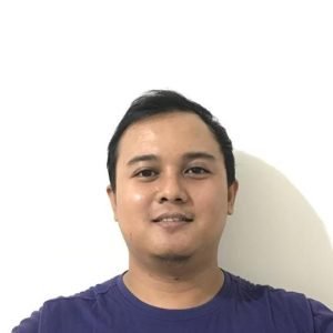
Dody Pratama Firmansyah, S.T.
Manager Geology
Working Experience 12 years
Geology Engineering
GENERAL AFFAIR DEPARTEMENT
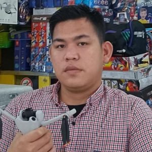
Budi Saputra
Manager DJI Support
Working Experience 5 years

M. Arifin, S.Kom
Manager IT
Working Experience 10 years
Computer Science

Dedek Eka Tri, S.T.
Manager 3D Mock Up
Working Experience 15 years
Civil Engineering
FINANCE DEPARTEMENT

Kawit Hayati, S.Si
Manager Operasional

Ratna Yuni Kartika, S.Par
Staff Finance dan Administrasi
