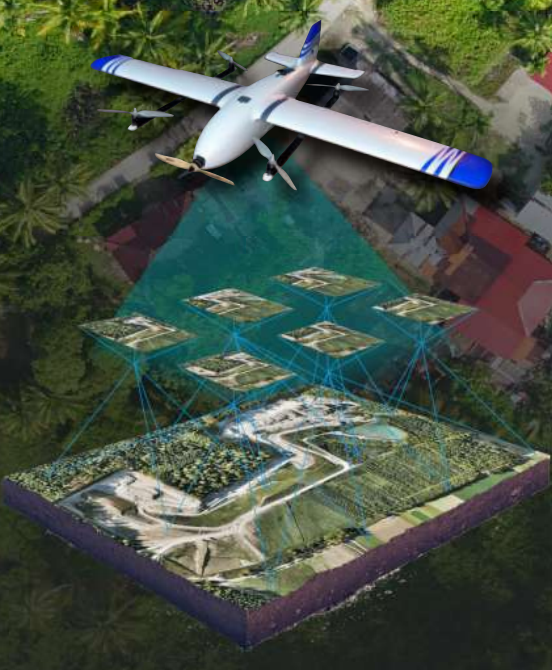
Sky Crosswind 160
UAV VTOL for Various Survey and Mapping Purposes

Introduce
Sky Crosswind 160
Unmanned Aerial Vehicle (UAV) VTOL SKY CROSSWIND 160 for various purposes of surveying and mapping. Weighing only 5.5 kg and included Automatic Takeoff - Landing System, VTOL SKY CROSSWIND 160 is easy to operate and has excellent endurance in its class.

Detail Parameters
more detail about Sky Crosswind 160 Specifications
Airframe Type
Fixed Wing with VTOL Arm
Material
Expanded Poly Olefin (EPO) with Carbon Fiber Spar
Wingspan
1600 mm
Length
1070 mm
Wing Area
33 SqDM2
Weight
5.5 Kg
Take-off & Landing
Automatic Vertical Take-off
Autopilot
PX4
Main FMU Processor
STM32f76 :
- 32-bit ARM Cortex M7
- 216 MHz Processor running NuttX RTOS
- more computing power
- and 2x RAM than previous versions
Camera Sensor
A600 Lensa 25mm
Camera Control
Autopilot Automatic Distance-based Trigger
Flight Time
Up-to 50 minutes
Flight Altitude
250 - 500 m AGL
Nominal Flight Range
50 Km
Survey Results
265 Ha/Flight at :
- Flight Altitude 250 m
- GSD 4.88 cm Overlap 75% & Sidelap 75%
Radio Control
2.4 GHz - Up to 3 Km Distances
Telemetry Link
433 MHz - Up to 10 Km Distances

