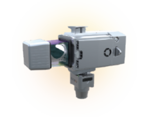
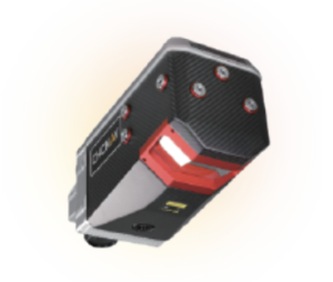
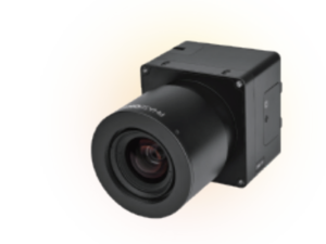
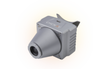
CHCNAV VTOL P60
The P60 UAV can be widely used from urban planning, infrastructure monitoring, oil and gas, to mining service.

P60 Unmanned Aerial Vehicle
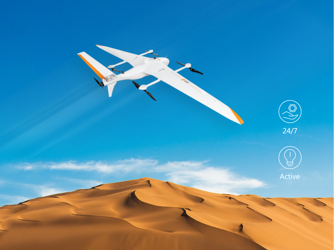
P60 electric vertical take-off and landing fixed wing UAV aerial survey system is a new generation of large-load and long-endurance UAV. Designed for easy to use and highly integrated with self-developed payloads, making field operation easier.
Processing Features
to achive your goals
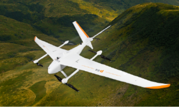
Easy to Use
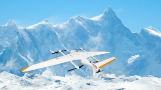
6500m Max. Altitude
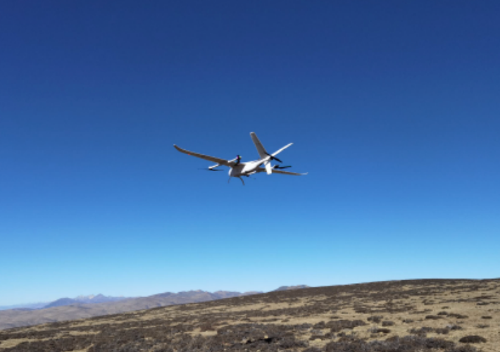
Endurance Flight Time
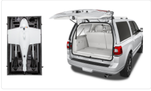
Quick Assembly and Easy to Transport
24/7 After Sales Support

Application Scenario
Detail Parameters
more detail about CHCNAV VTOL P60 and Load Detail Specifications
VTOL Parameters
Fuselage Length
1.6 meter
Wingspan
4.2 meter
Maximum Take-off Weight
25 Kg
Maximum Payloads
6 Kg
Engine
Full Electric
Box Dimension
1.66m*0.96m*0.55m
Maximum Endurance
120min (with 3kg of Payload)
Maximum Range
150 Km
Cruising Speed
19 m/s
Wind Resistance
Level 6
Take-off/Landing Mode
Auto-VTOL
Maximum Altitude
6500 meters
Working Temperature
-20℃~50℃
Hor. Positioning Accuracy
1 cm+1 ppm
Ver. Positioning Accuracy
2 cm+1 ppm
Data Communication Distance
Altitude 300m≥20km;Altitude 500m≥30km

