AheadX QP532 Mapping
Pure Electric Hybrid Wing Unmanned Aerial Vehicle Independently for the Field of Surveying/Inspection

Introduce AheadX QP532 Mapping
AheadX QP532 Mapping is a pure electric hybrid wing unmanned aerial vehicle independently developed by AheadX for the field of surveying/inspection. It adopts a composite material body, with a sturdy and reliable structure. AheadX QP532 Mapping delves deeply into the field of surveying and mapping/inspection, equipped with high- precision inertial navigation, time synchronization systems, and advanced camera calibration algorithms, which can achieve image control free surveying and mapping.
Processing Features
to achive your goals

RTK/PKK Simultaneous

Intelligent Inspection
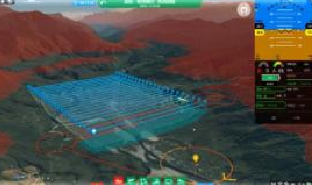
3D Ground Station Software

Galaxy Cloud System
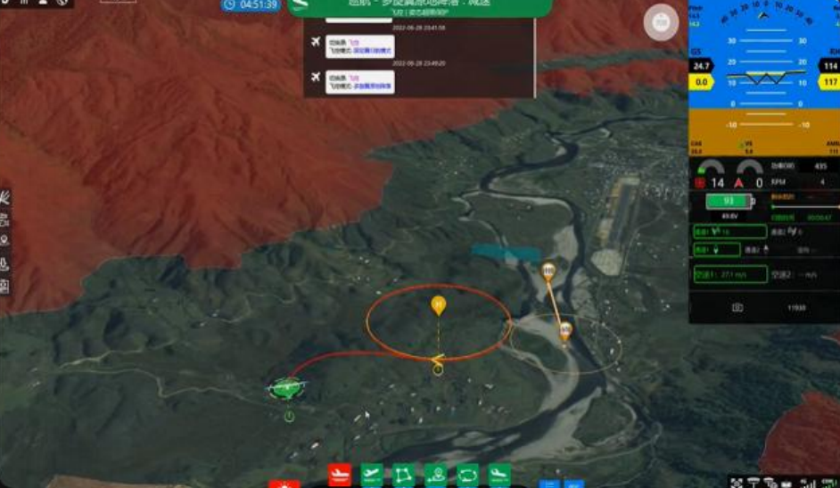
Multiple Emergency Protection
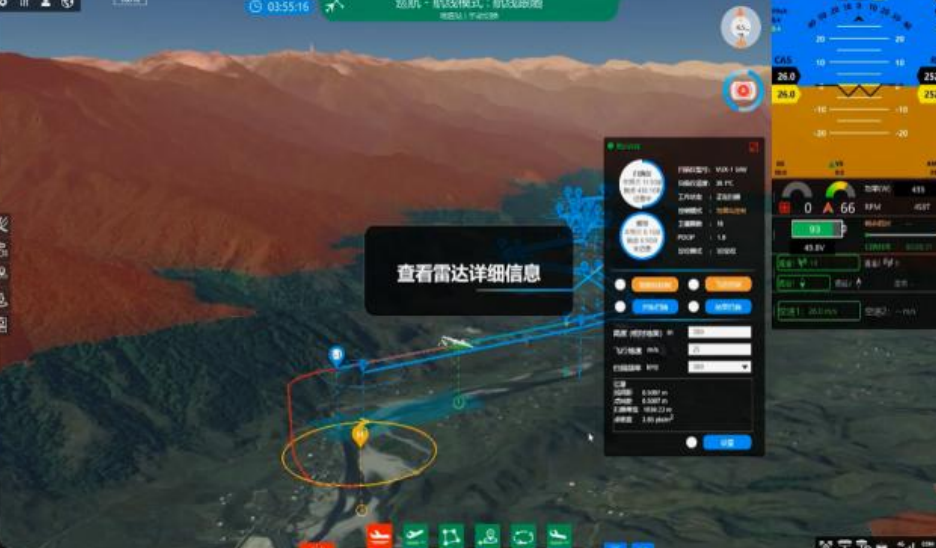
Load Function Integration

Image-free Surveying & Mapping

High-Precision Ground Simulation Flight

Advanced turning Algorithm for Motion Planning

Imitation Protection

Fully Autonomous Operation, Unmanned

Scan Route with One-Click Generation
Detail Parameters
more detail about UAV VTOL AheadX QP532 Mapping parameters
Fuselage Length
1.4 meter
Wingspan
3.2 meter
Body Materials
Glass fiber + Carbon fiber + PVC
Maximum Take-off Weight
22 Kg
Cargo Capacity
4 Kg
Dynamical System
Low noise, Brushless, Electric
Storage Dimension
128 * 59 * 59 cm
Maximum Endurance
180 minutes
Maximum Range
150 Km
Cruising Speed
75 Km/h
Wind Resistance
Level ≤6
Take-off/Landing Mode
Auto-VTOL
Practical Ceiling
5500 meters
Working Temperature
-20℃~50℃
Hor. Positioning Accuracy
1 cm+1 ppm
Ver. Positioning Accuracy
2 cm+1 ppm
Data Communication Distance
20km (Stand) ;60km (Max)
