
RTK/PKK Simultaneous
Real Time Differential / Post Differential Simultaneous Operation to Provide data and image solving services

Intelligent Inspection
Lidar One Click Settings, automatically start when entering the measurement area, and automatically shutdown when leaving the measurement area
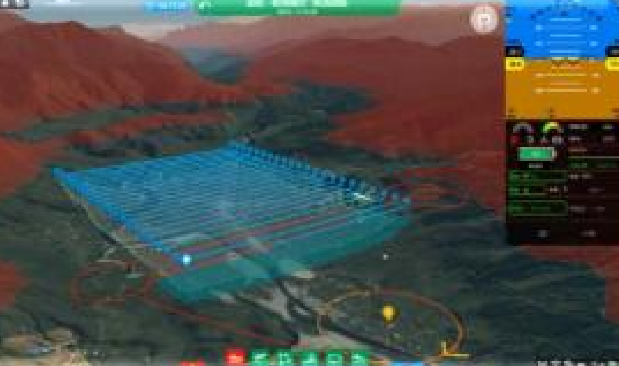
3D Ground Station Software
3D map interface (WYSIWYG) and Provide customized services

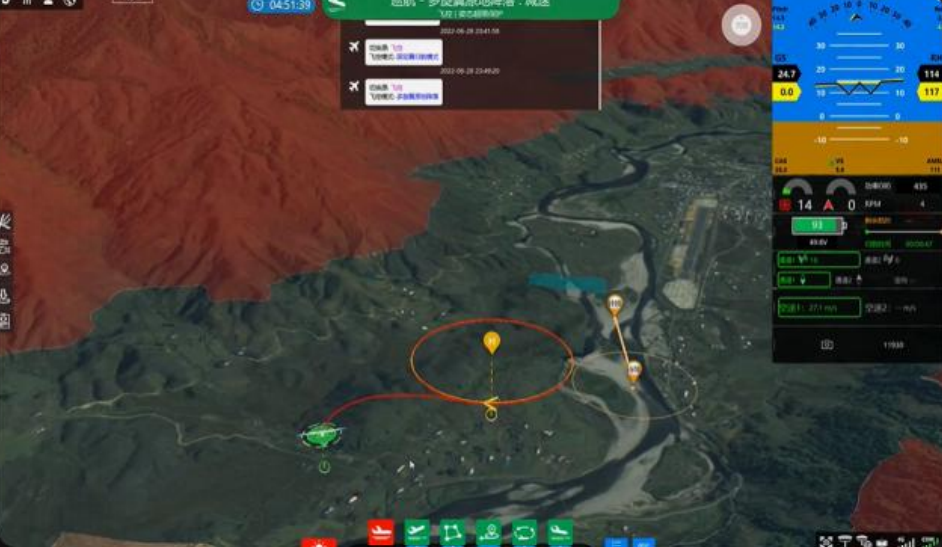
Galaxy Cloud System
Unmanned Aerial Vehicle Online Management, 3D realtime data monitoring Remote control to improve efficiency of large-scale operations
Multiple Emergency Protection
Low battery/data link loss/automatic return when
overtaking Multiple protections such as attitude overrun and emergency alternate landing
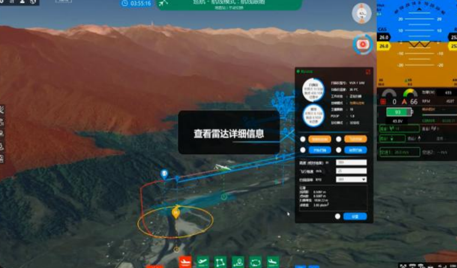
Load Function Integration
The ground station software integrates Sail Camera / RIEGL load control and status monitoring functions

Image-free Surveying & Mapping
1: 150 image-free orthophoto/tilt mapping, Without deploying image control points, the accuracy can
reach 2CM

High-Precision Ground Simulation Flight
Support high-precision terrain elevation simulation flight and Fearless mountain operations

Advanced turning Algorithm for Motion Planning
Automatically turn excessively according to the optimal efficiency when switching lanes, and the accuracy of mapping is not affected in strong wind environments

Imitation Protection
When encountering terrain such as hills above the operating route, millimeter wave radar perceives abnormalities and automatically climbs

Fully Autonomous Operation, Unmanned
You only need to issue the start task instruction to operate autonomously and customize unmanned services

Scan Route with One-Click Generation
Quick import of survey area files, blocks/strips